


By James Stoness
The people of Ontario are blessed with great scenery and lots of space to roam. To add to the mix are the abundant provincial parks and Eastern Ontario has a huge number of acres set aside for public enjoyment.
Almost everyone is familiar with Algonquin Provincial Park (PP) but just off the southeast boundary of Algonquin is Bonnechere Provincial Park. Established in 1967, this recreational gem has over 160 hectares to explore.
Ontario’s Highway 60 is the east road passing through Algonquin, and to visit Bonnechere you turn onto Highway 67 going north toward Round Lake. As you approach the shores of Round Lake you will pass the beautiful structure of St. Casimir’s Church. Its location on a hill overlooking the lake is a beautiful place to stop for a photograph.
At the west shoreline of Round Lake is the Bonnechere PP entrance. The name is made up of two French words: bonne, meaning pleasant, and chere, meaning dear or darling. Put these words together and there can be an assortment of meanings. How the name originated is disputed, but the fact remains – the terrain and waterways are very pleasant.
The Little Bonnechere River meanders through its flood plain to the shores of Round Lake. Its winding nature is the source of hours of entertainment for boaters and canoers who enjoy the peaceful ambiance. The shorelines of the river are overgrown with large trees offering shade on hot days. Ducks and other water birds swim aside to avoid people lounging in their watercraft. Along the shores are several campsites, and if you don’t get onto the water, you can at least enjoy watching the paddlers go past. They seem to be friendly and happy and are quick to wave when they see you watching from the campsite.
For 23 kilometres, the Little Bonnechere River connects Algonquin PP to Bonnechere PP, and then continues southeast to drain into the Ottawa River. The river flows in a steep-sided valley, the Ottawa-Bonnechere graben, created when a block of the earth dropped between two high ridges. The valley is edged by two parallel, very long faults. There are places where the upper cliffs rise perhaps 300 metres above the river. You can imagine the great view a hiker would have from up there. White pine forests have repopulated the land, but it will be generations before people can see forests like the magnificent stands that fell to the axe over the past two centuries. The forest currently consists primarily of maple, ash and hemlock trees.
Sadly, the vast, almost endless, pine forests fell to logging starting in 1800. The tall pines were hauled to the river and sent downstream to the mills. It was a busy river in those days, with goods and products going upstream and the logs coming down. Along the river, there are several hiking trails providing insights into the history and the geology of the area.
Campers can take advantage of the long sandy beach, enjoy a swim in the clear waters of Round Lake, or simply layabout in the sun. The view from the beach reveals a massive expanse of water, often filled with boats and canoes. The broad expanse should provide the breezes necessary to propel a sailboat at a good clip. A boardwalk along the beach makes for more enjoyable promenades without getting sand in your shoes.
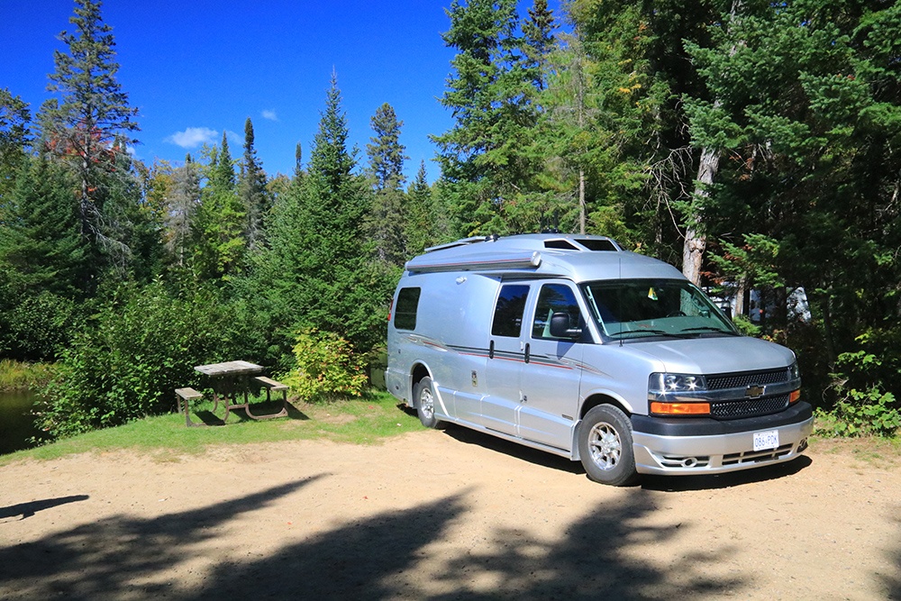
Camping is available at Tall Pines, River Loop and Sandy Flats campgrounds (CG). There are 60 campsites at Tall Pines CG with 24 electrical sites. The site sizes can accommodate sizes from tents to larger RVs and are located among remnants of some of the huge white pine trees that were overlooked by the loggers. It’s hard to imagine a forest filled with these giants. What a sight it must have been!
The River Loop CG is serviced by a narrow, crooked road and its sites are best for tents and small trailers or Class B motorhomes. While there are no electrical hook-ups here, there are some choice sites edging the Bonnechere River, offering views of the passing canoers, the relaxing sounds of the moving water and flitting birds.
 In an ever increasingly noisy world, Sandy Flats CG is a welcome respite. It is radio-free. There are no electrical sites here. The site sizes are suitable for tents and small trailers. Washroom and laundry facilities and water taps are centrally located for all the campsites. Washers and dryers are set up at the central washroom area. There is also the possibility of renting the Pine Shores Cottage which sleeps six and the park also has four rustic cabins that can each sleep four people. These are located along the Bonnechere River.
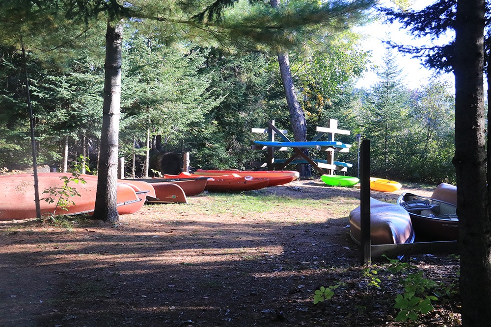
If you need simple supplies, the Davenport Centre has snacks and some basic camper items. You can rent canoes and kayaks at the park store. The Davenport Centre offers programs about the history of the area including logging and pioneer times. Down by the beach are several large white pine trees, huge remnants of the original forest.
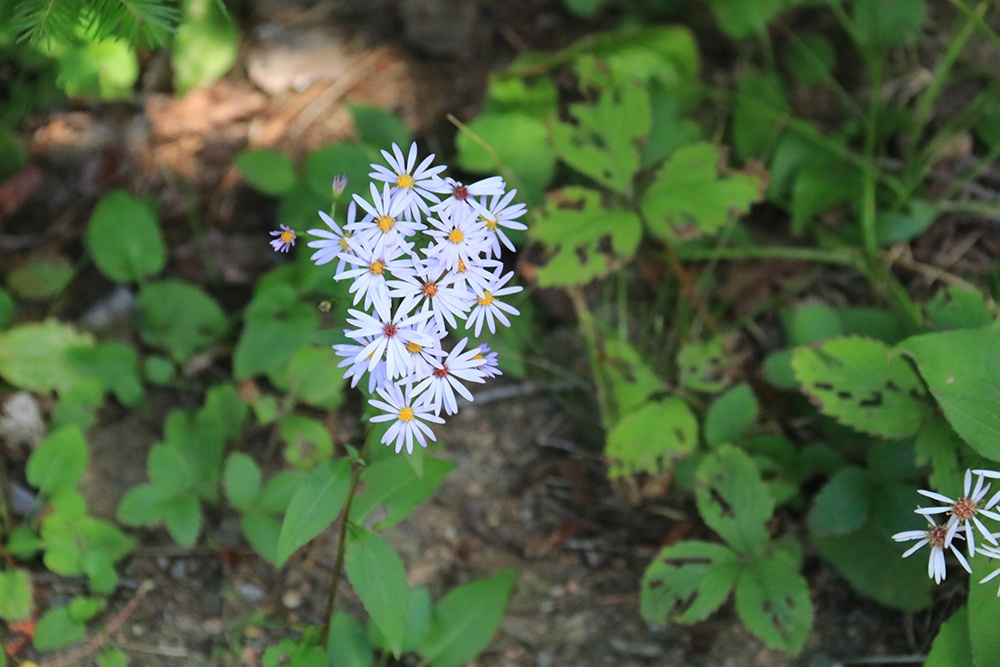
There are no bike trails, except along the roads. Many visitors come to the park because of the birds. They claim sightings of 297 species. Round Lake is a deep lake and home to fish that like deep, cold water. Anglers catch large and small mouth bass, lake trout, and pickerel. You can use the boat ramp to launch your boat – note that only “no wake” power boats are permitted.
There is great potential for families who enjoy hiking. The 2 km McNaugton Trail follows the meandering shores of the Bonnechere River. There are 13 areas marked with posts and interpretive signs that will teach you about the history of the area. A visit to this region is a hikers’ delight, with well-marked walks of the Bonnechere River, consisting of 10 trails with overlooks where you can gain an appreciation of the river.
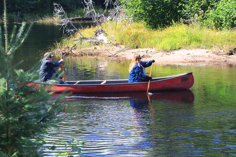
For more enjoyment, after camping, you might select a few roads that follow the Bonnechere River eastward through communities like Renfrew, Killaloe and Eganville. The river offers flat water canoers space for enjoyable paddling, but the Canadian Shield does not let anything lie flat and tranquil for very long. Along the river you can expect to find a few challenges in the forms of rough rapids and waterfalls.
Reflecting back to the logging era, when logs were sent down the river singly, on rafts or fastened in groups, you can imagine how a log would get lodged crossways in the rapids, or the top of the falls, and a jam would occur, creating a fantastic, jumbled pile that would resemble a fresh throw of pickup-sticks.
To help add some order to the log drive, logging companies built wooden chutes. These chutes became areas where people congregated, and settlements arose with hotels and stores. Later, the falls became sources of power for grist mills and sawmills. As time passed, these waterfalls produced electricity.
Bonnechere PP is a popular park and draws many people to its lakeside beach and its meandering river. For plain relaxation, you will find the large campsites are ideal. This is one of Northeastern Ontario’s prime parks. If you don’t mind cooler temperatures, autumn is a great time to visit, especially when the leaves are turning.
Bonnechere Provincial Park is open from May 21 to October 12, 2021.
4024 Round Lake Rd.
Killaloe, ON K0J 2A0
(613) 757-2103
For more information visit:
https://www.ontarioparks.com/park/bonnechere
RV Lifestyle Magazine’s Travel Editor, James Stoness, is the author of ‘Touring North America’, a series of travel guides on CD and online to help you plan your trips across North America, as well as a series of novels. Visit his website to read his novels and travel guides – https://stonessrvtravel.com/


