Nisga’a Memorial Lava Bed Park
By James Stoness
One of the nice things about RVing is that you can meander off the beaten track and visit some less known places. We don’t usually hear much about volcanism in Canada, and being able to drive into a relatively young flow of lava just might interest a few travellers.
There are several volcanic areas in Canada. North of Terrace, British Columbia lies the youngest lava flow in Canada. Active only about 250 years ago, you can now easily visit the scene of the devastation caused by the flow of basalt lava from Tseax Volcanic Vent. The Nisga’a Highway follows the edge of Lava Lake just 20 kilometres west of the source of the flow. With the steep hills on one side, the deep lake on the other, the views down the lake to the distant mountains make this a very scenic drive.
The lava was very fluid, a fact that caused so much damage. It rapidly flowed down hill from the crater and quickly dammed the Tseax River to create a very long lake, called Lava Lake. The lava then turned north following the Tseax River valley until it reached the relatively level, broad plain of the Nass River valley. Here it spread outwards forming a lava plain. The edges of the hot lava forced the Nass River out of its channel over to the north side of the valley where it is today.
This valley was the home of the Nisga’a aboriginals and the volcano destroyed their villages and killed an estimated 2,000 inhabitants. The rapidly erupting volcano sent poisonous fumes down the valley and there was little chance for the people to escape. Forest fires ignited by the flowing lava added greatly to their problems.
Today the area of the lava beds is now the Nisga’a Memorial Lava Bed Park, a joint park operated by the Nisga’a and British Columbia’s Provincial Government. It’s a great place to see up close the results of one of nature’s rampages.
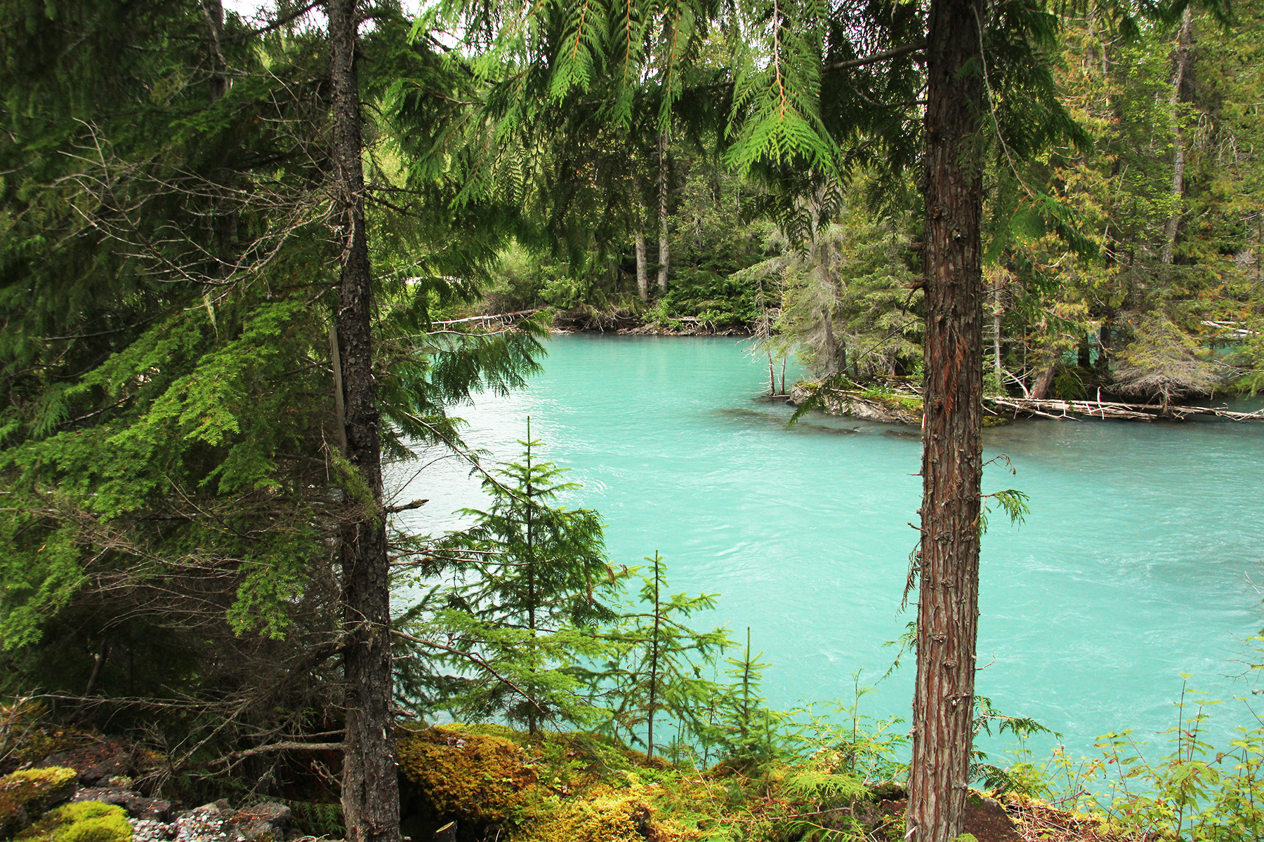
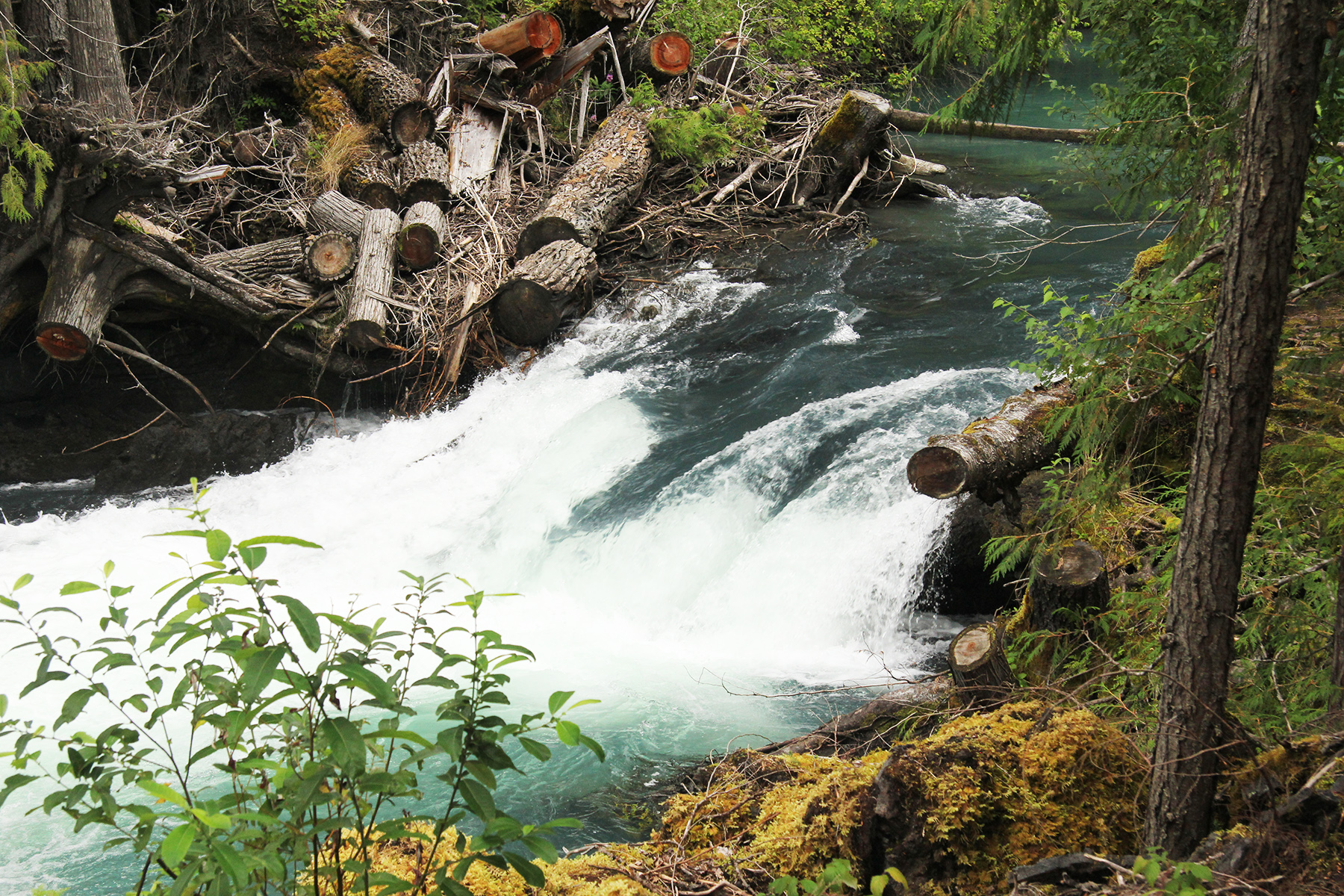
You enter the park at Lava Lake. You are in a beautiful valley with excellent views across the lake. Thick vegetation, including lots of evergreens, line the hills. A picnic bench awaits you at a small glen, complete with a crashing cascade of frothing, green water, and a quiet river. This is very nice place to stop and eat your lunch.
Soon after this you start to encounter the lava, as it lines both sides of the highway. There is a surprising amount of recovery of the vegetation. Small spruce and other trees or shrubs push up out of impossible appearing places. Grass is plentiful, but it’s very difficult for grazing animals to get to it.
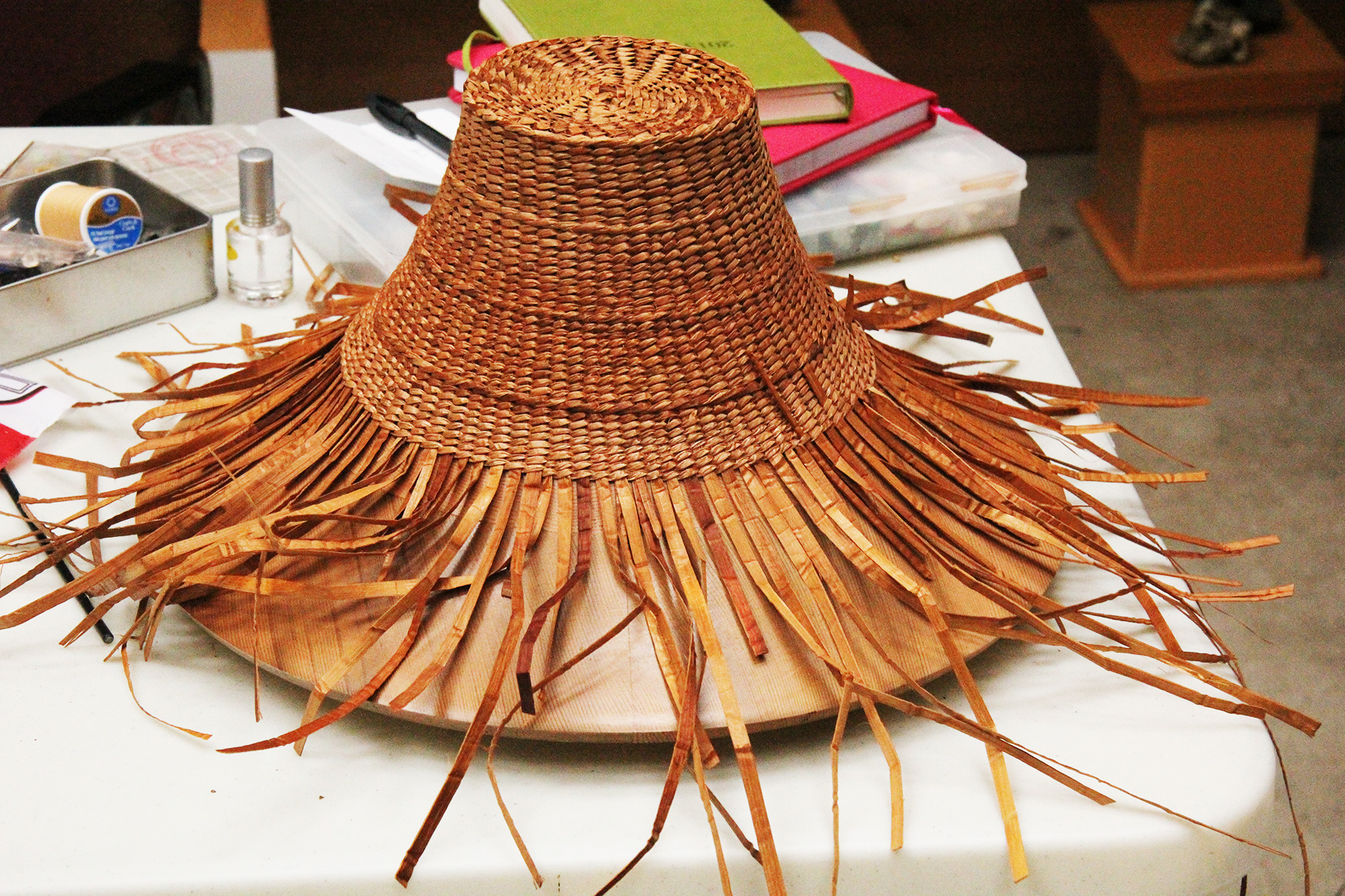
 Perhaps the first place to investigate would be the Visitor Centre. You will find exhibits that show the life of the natives. There are also examples of some of the crafts done by them. They produce several objects created by braiding long, flat, ribbon-like material. They make a very attractive hat similar to a straw hat we’ve all seen. This is a good place to find out about the 16-site campground if you are planning a short stay here. There are several Nisga’a villages just outside the park where you can find small grocery stores, tourist shops, and perhaps some B&B’s.
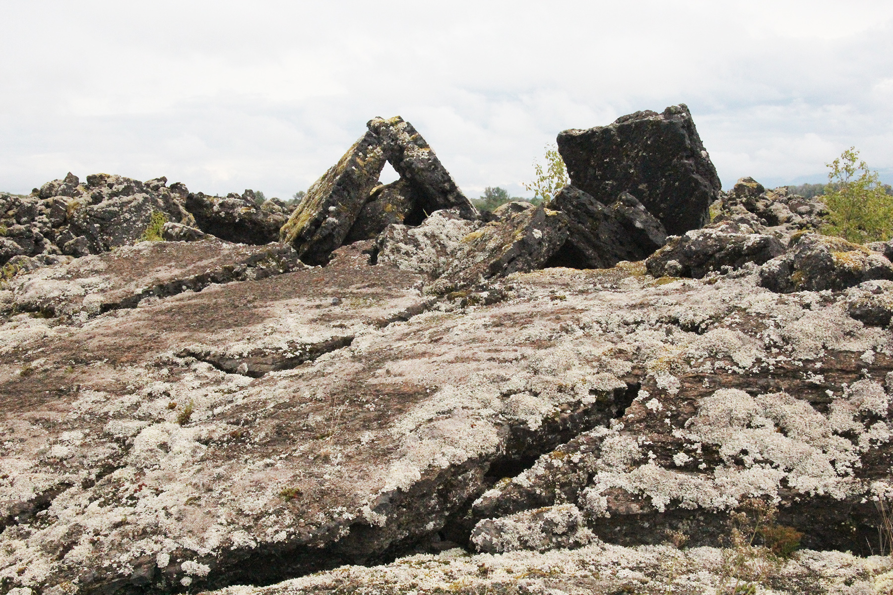
Basaltic lava is usually quite black in colour, but here, the moist climate has enabled lichen and mosses to grow over the lava field and its colour has a grey, or greenish cast. As you follow the highway through the lava field you will be amazed at the jumbled mess of rock. The lava surface cooled and solidified while the liquid lava moved along underneath. Sometimes when the flow was slower, the frozen surface warped and cracked. As the lava continued to push, it upended many of these thick blocks of solid lava, tipping and scattering them similar to the moving ice in an ice jam in a river.
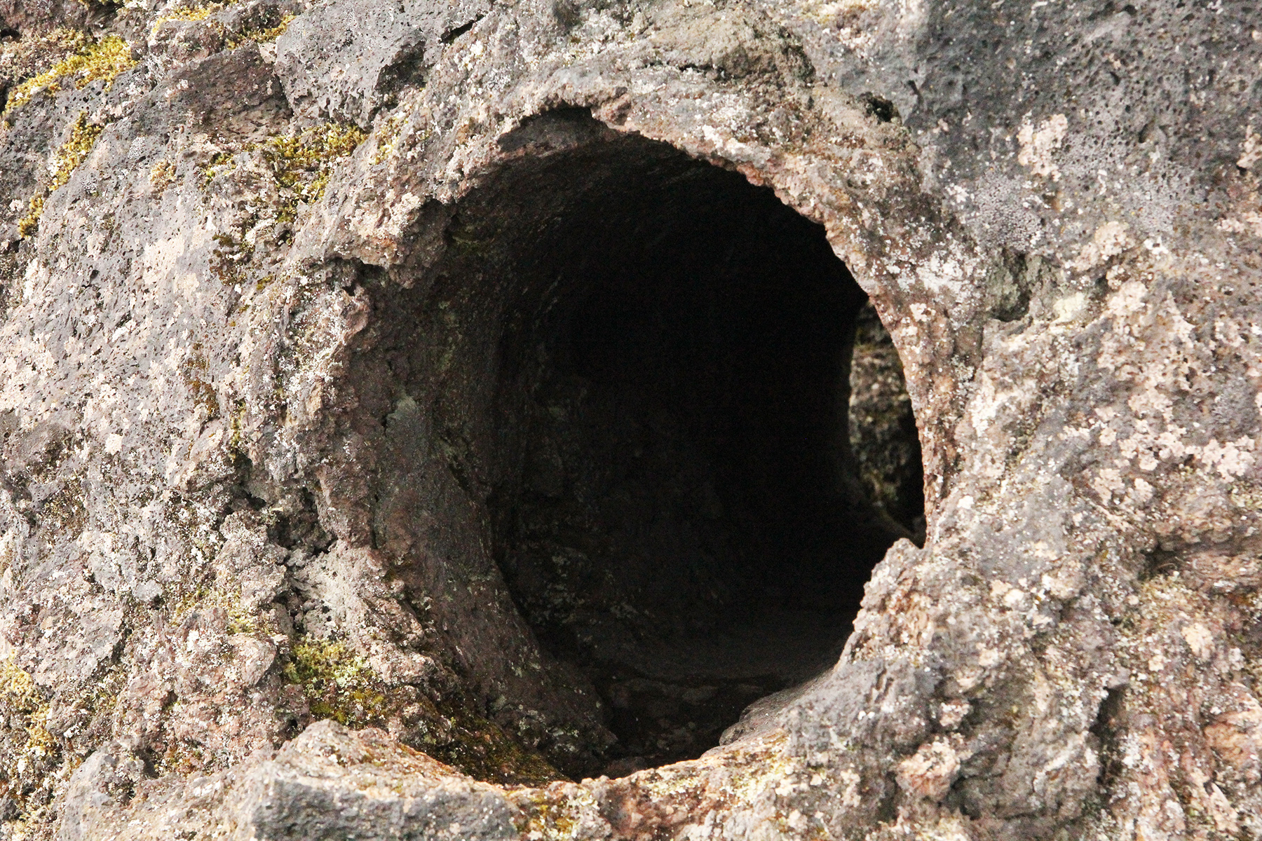
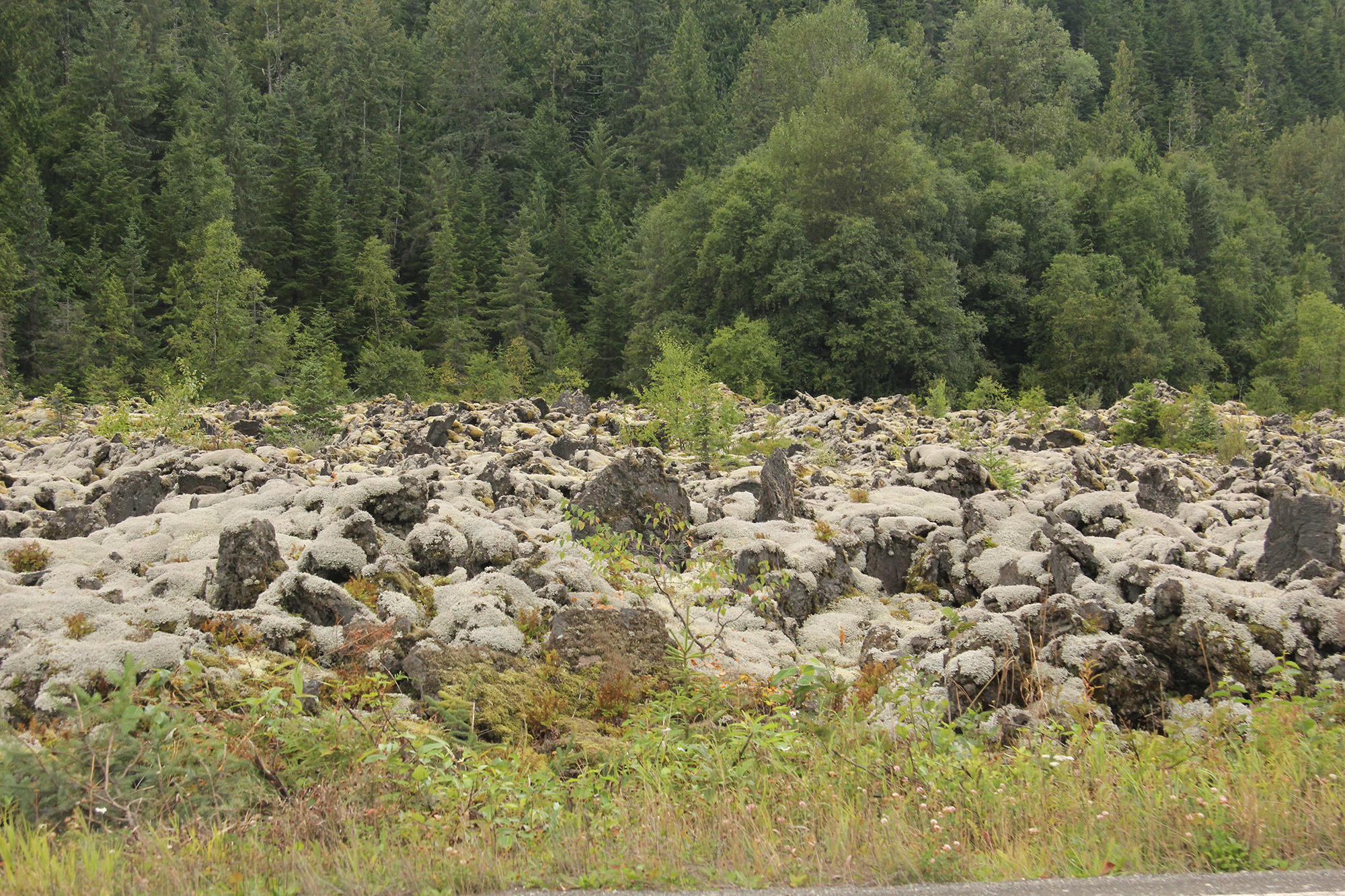 In some places you will see surface features that look like a series of ropes laying side by side. This is Pahoehoe lava. Another form is AA lava, which is a jagged type of lava. There is a walking trail to a good example of a tree mould, which is a hole through the lava. The lava flowed around a living tree and solidified. When the tree eventually rotted it made a mould, or cast, of the original tree. There are other short walks to interesting aspects of the park.
When the lava was flowing, it often ran through lava tunnels for great distances. When parts of these became empty they left hollow tunnels. Sometimes these collapse. It is dangerous to enter them, and also to walk across the surface where they might be hidden below. A collapse of the roof of the empty tunnel could lead to a quick drop onto sharp broken rocks.
A special guided tour takes you through the old growth forest to a viewing area of the crater. You may not go to the cone unless you are with a guide because it is easy to destroy the delicate plant life, and even knock down tilted rocks. There is a charge for the guided tour, and an additional charge if you buy their lunch. There are some steep stairways and moderate hills on the trail.
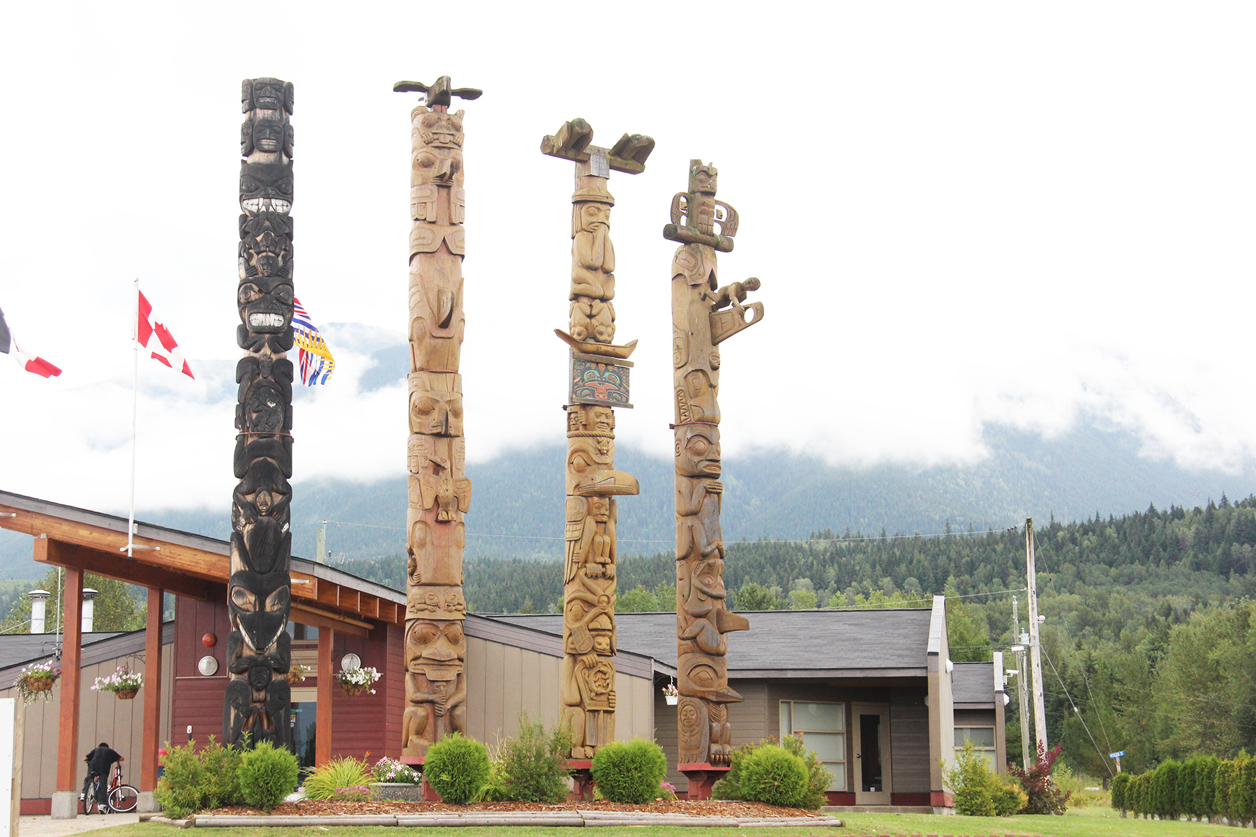
As you drive around to the villages you will see several totem poles. The craftsmanship is quite amazing. One village has an impressive group of four totem poles and there are even totem poles at the entrance to the bridge across the river.
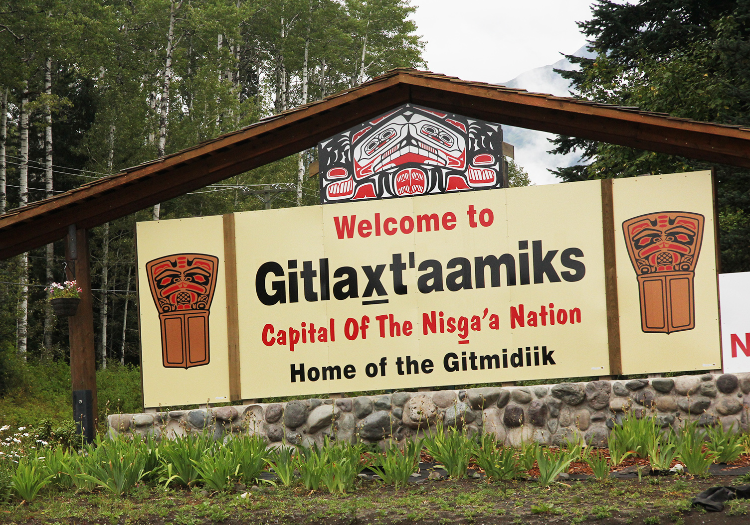 Gitlaxt’aamiks is the Capital of the Nisga’a Nation. At one time it was further upstream on the edge of the Historic Grease Trail. The Grease Trail was part of a trail system running inland from the ocean. The natives made grease, or eulachon oil, from small fish and carried it inland to trade for items such as copper, fur, and dark obsidian. Alexander MacKenzie, the first man across the continent by foot and water, followed some of this network to the Pacific Ocean. Gitlaxt’aamiks is now located south of the river in an area high above the floods of the Nass River.
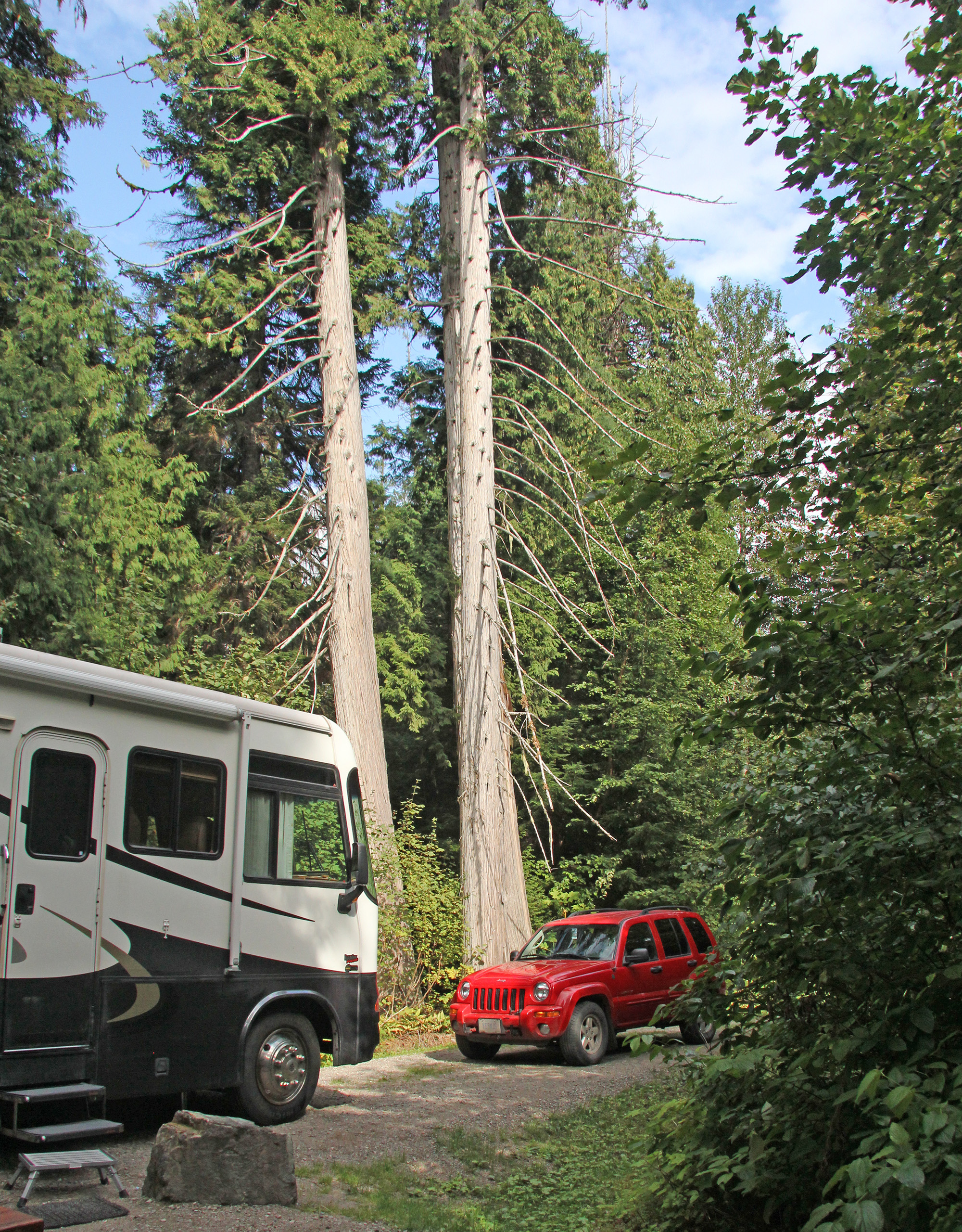
Nisga’a Memorial Lava Bed Park is 80 kilometres north of Terrace. Just 12 kilometres south of Terrace is Lakelse Lake Provincial Park which is a beautiful campground where you stay right in the forest under the great trees of the west coast. From there to the lava beds it is an easy day drive. If you don’t wish to stay more than a day at Nisga’a lava beds, Lakelse Lake CG is a good place to stay.
A short drive southwest of Terrace will take you to the great aluminum smelter of Kitimat, on a bay of the Pacific Ocean.
Another drive is the drive down the valley to Prince Rupert. This is a very scenic drive down the valley following the curves in the mountains along the way. In the far distance you will eventually see the open waters of the fjord. Prince Rupert is a modern town, and provides a chance to perhaps do a little shopping and sight seeing.
British Columbia is one of Canada’s top destinations for great mountain scenery. Add in the chance to see the results of a geological volcanic disturbance, and you have the recipe for a great summer trip.


